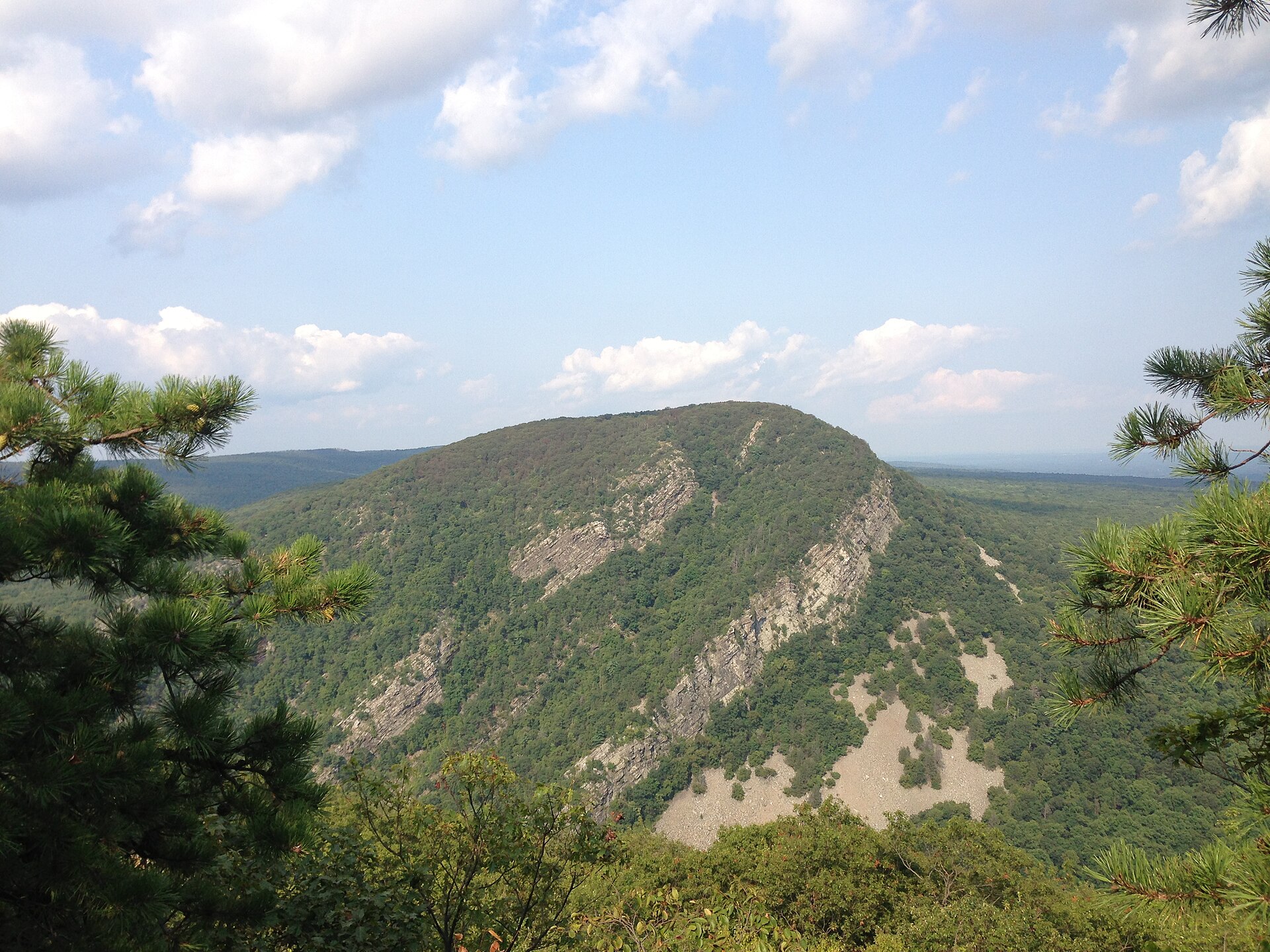
Mount Tammany
Delaware Water Gap National Recreation Area, Warren County
- Round trip
- About 3 miles as a loop
- Climb
- 1,201 feet on the Red Dot trail
- Underfoot
- Rock steps, roots and loose stone
- Trailhead
- Dunnfield Creek Natural Area, off I-80 exit 1
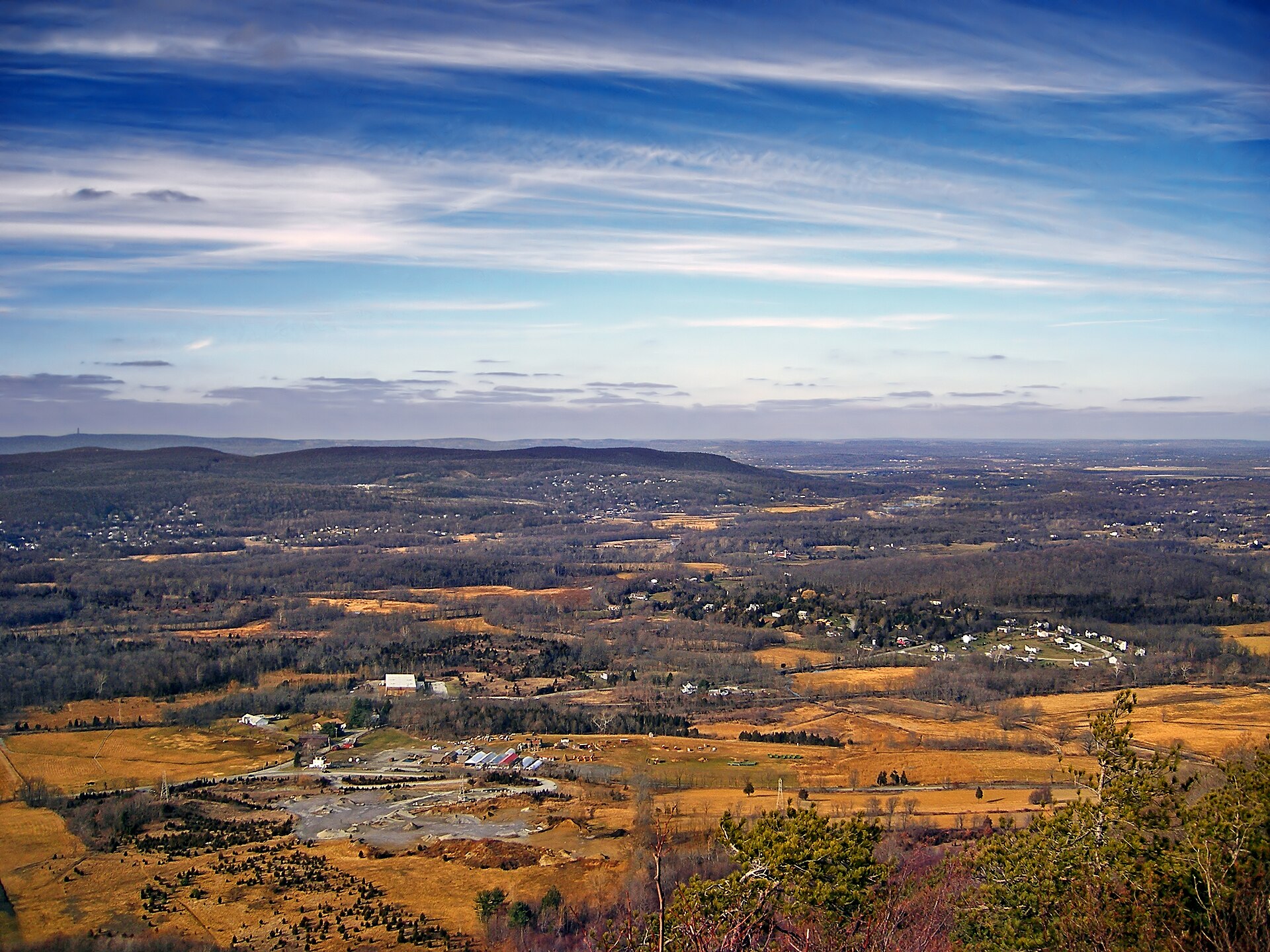
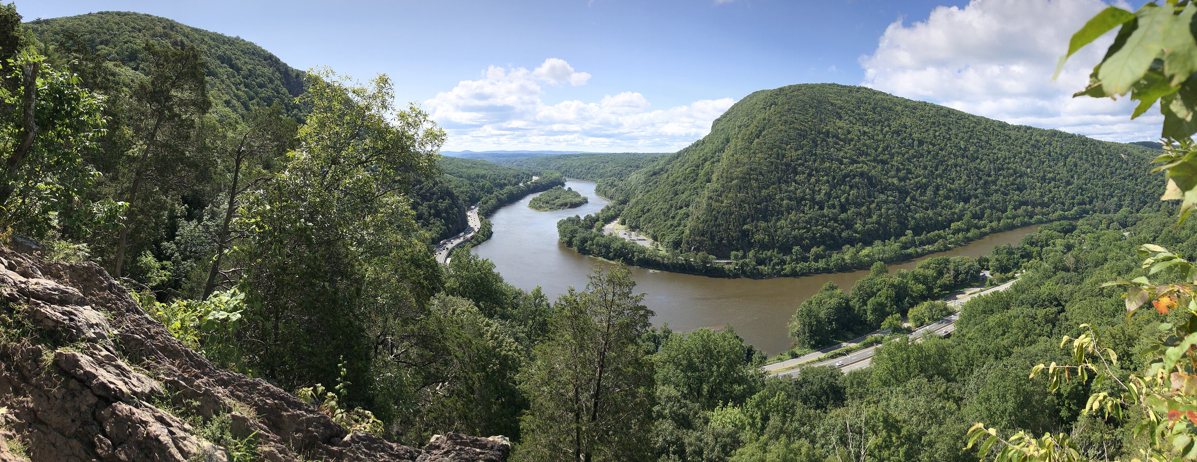
The Park Service rates the Red Dot trail difficult and calls it one of the most challenging in the park: 1.2 miles one way, 1,201 feet of climb, which works out to a thousand feet a mile. That's a real mountain gradient, and it surprises people who drove ninety minutes out of a city to get here. What you get at the top is the Delaware cutting straight through the Kittatinny ridge below you, with Mount Minsi facing back from Pennsylvania.
Do it the way the rangers suggest: up the Red Dot and down the blue-blazed Pahaquarry trail, which makes a three-mile loop and is kinder on the descent. There's a restroom at the Dunnfield Creek trailhead, and the park charges no entrance fee at all — a handful of the river beaches and boat launches have their own day-use fee, but no trailhead does. The catch is the lot. The Park Service says it fills quickly on summer weekends, and that the popular Water Gap lots are usually full by nine on Saturdays and Sundays from spring through fall. If you want a longer day from the same trailhead, the green-blazed Dunnfield Creek trail runs 3.5 miles and 966 feet up to Sunfish Pond, a glacial lake on the Appalachian Trail.
Why it's here: A thousand feet of climb per mile. Nothing else on this list is that steep, and most people underestimate it.